Green Infrastructure Development
Zagreb team: Butula, Žmire, Tomić Reljić; LNI coordinator: Attila Tóth
Definition of the theme:
The Green Infrastructure working group will investigate the potential components at the wider area of the city of Zagreb that could form an interconnected network of green spaces, that benefit people, natural resources, wildlife, townscape and the economy. Appropriate planning and design approaches will be explored at three different levels – theoretical, strategic and implementation, based on a field trip, impulse and plenum discussion. Principles and recommendations for GI planning, design and implementation will be discussed and developed, exploring potentials of inclusion and integration of environmental, social and economic ecosystem services within local communities of the city of Zagreb, with focus on the area in Sesvete settlement.
Main problems of Zagreb’s green infrastructure, according to the document City of Zagreb: Development Strategy for the period up to 2020 (2017) are: unlawful construction and spread of other land uses into the green areas, unresolved status of ownership of green surfaces, unadjusted standards for design, protection and management of green infrastructure components. As for the Sesvete district, group of authors (Bužan and Duić, 2013) in their study see the problem in a rapid weakening of natural relations and connections in the landscape due to urbanization that is gradually turning it into degraded landscape. This degraded landscape includes elements of city functions and also a mass of urban elements which with their spatial position and influence significantly redefine characteristical image of the city.
Ensuring the connectivity, validation, protection and multifunctionality of Sesvete’s green network bears enormous potential for district and its inhabitants. The GI network could further support the connectivity and accessibility of the mountain and hill area in the north and the river Sava in the south. Combining ecological, social and economic benefits by an overarching Green Infrastructure strategy can build a powerful framework for joining the forces of different actors and interest groups towards a common goal.
This working group will identify potential for general framework of green infrastructure network in wider area of Zagreb, including the settlement of Sesvete. Also it will be identified how this can be linked with the Zagreb landscape vision. It will provide principles of how the GI can be elaborated but more important how existing nature areas can be linked to other spatial typologies which are currently underestimated with regard to their strategic potential. Next to that, the team will address two further challenges: sustainable mobility and connectivity.
Study and planning area:
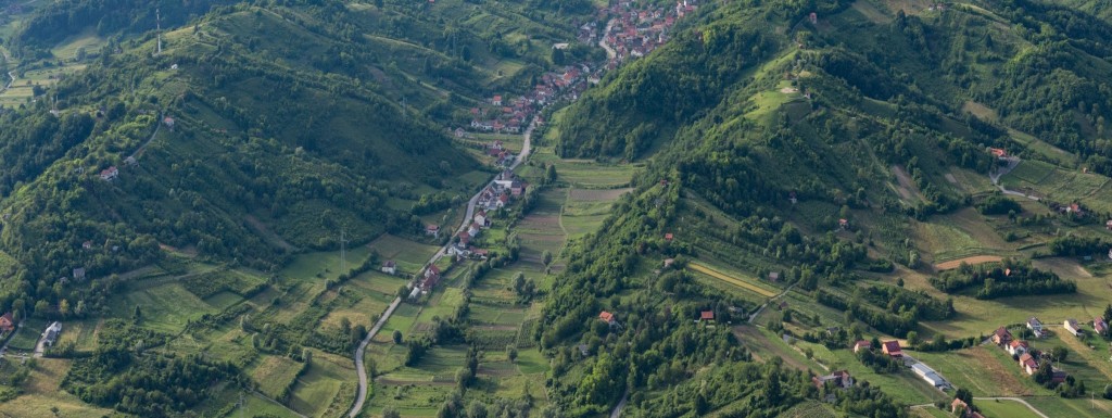
The study area covers the wider area of Zagreb, including the settlement Sesvete, the eastern city district of Zagreb. The focus will be on the connection between the Nature park Medvednica, which rises above the city, and the Sava River with its riverine area and/or river banks. More spatial data (spatial plans, green areas, land use) is available on ZG Geoportal. At the local scale, focus will be on the corridor that follows the creek that runs from Medvednica, through Sesvete settlement towards the lateral canal from the city’s water purification facility. It relates to Nature Base Solution (NBS) nr 7 (Making renatured river corridors accessible for local residents) and NBS nr 8 (Reusing derelict land for new green corridors) of the proGIreg project.
The main questions are:
- What is the system of Green Infrastructure with regard to territoriality, spatiality and temporality?
- How can grey, green and blue infrastructure be integrated?
- How important is the role of the nature park Medvednica within the GI network?
- What are the benefits of river Sava for connectivity and stability of GI network?
- How can the identified corridors contribute to climate mitigation and adaptation?
- In which way can the recreational infrastructure (bike routes) be strengthened?
- How can the accessibility and the leisure function of the corridor for local residents be improved?

